For several years, Julie and I have been taking a week off in February to go on a four- to five-day winter ATV ride in the Upper Laurentians. In fact, instead of taking all our vacations during the summer, we take part of them in February. We really appreciate a break during the winter period, it allows us to recharge our batteries.
We chose the Upper Laurentians. First of all, it is a very beautiful region to visit with more than 1500 km of four-season trails. Indeed, this area is very popular for off-road vehicle users and many lodging sites are often fully booked weeks in advance. As a result, we chose an area where, from experience, trails are more likely to stay open during bad weather conditions, especially mild weather and rain.
A few days before the start, the weather forecast predicts a significant thaw before and during the ride. I still make sure to inform the ATV clubs about the possibility of closing the trails. Sometimes they do this in order to preserve the running surface on a very thin layer of snow. Indeed, there was very little snowfall during the period from December 2023 to February 2024. The majority replied that there will be no closure. It’s a “go”! Despite this, some routes have been modified to avoid riding on sections of trails shared with snowmobiles. The goal is to avoid smashing them during the mild period.
Day 1: Saint-Michel-des-Saints to Lac-des-Écorces
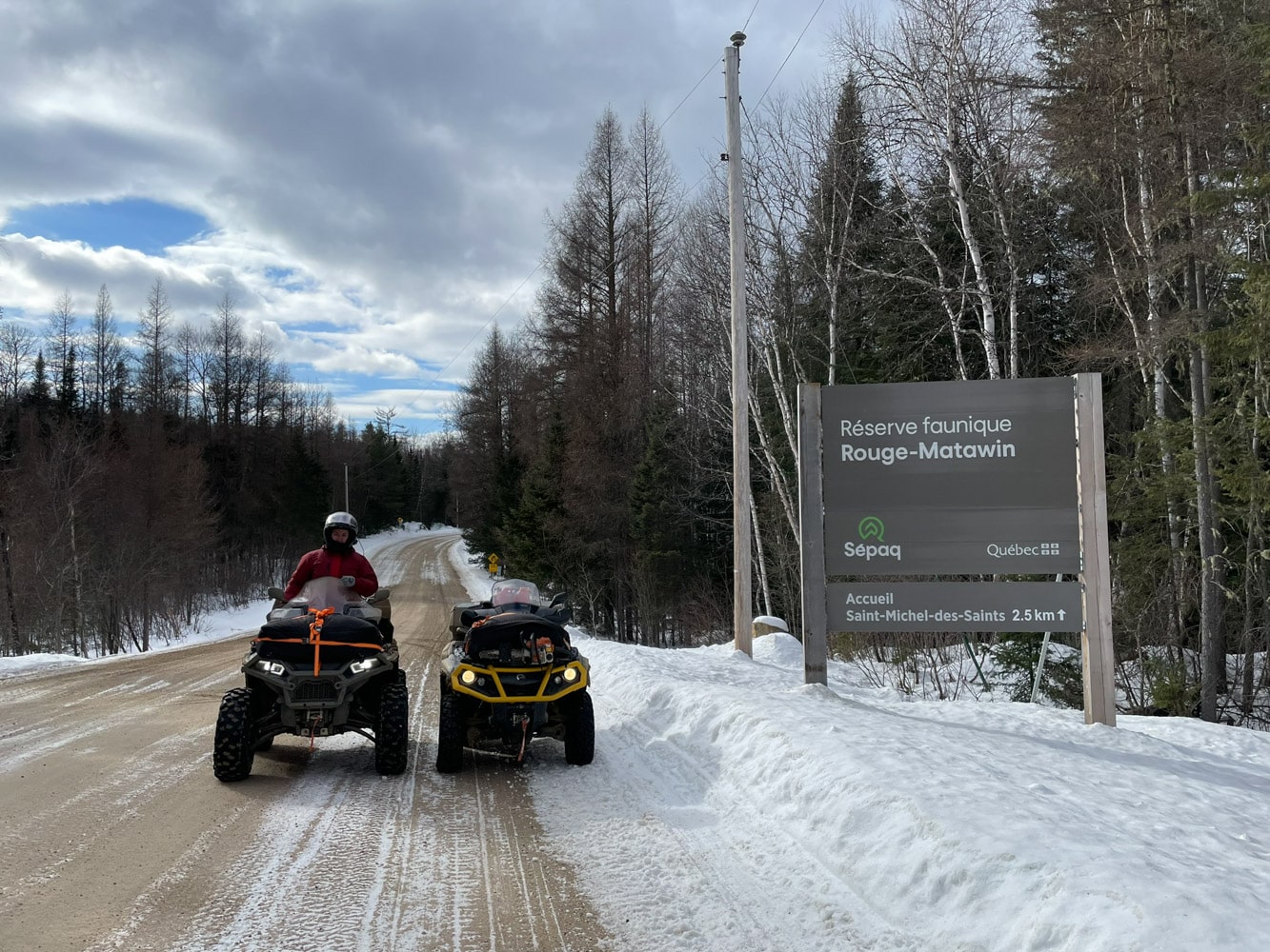
In the morning, when you get up, it’s already 4 degrees Celsius and you can hear the water running in the motel’s gutters. We get ready and go to lunch at the restaurant. Afterwards, we head directly to the Rouge-Mattawin Wildlife Reserve. The total distance between the two gas stations is approximately 140 km depending on the three destinations. There are no services on the reserve. This trail has existed since 2008 and is named after “Gerry Gagnon”, who is considered the “father” of the federated quad association as it is known in Quebec. He was also the one who came up with the idea of developing this route. There is a relay of the same name at km 48.5. Sometimes there’s firewood, sometimes there’s none.
Ride in the Wildlife Reserve Rouge-Matawin
The trail is not always well cleared of snow and having already finished this trip on the petrol fumes, I always bring an extra 20 liter can to be safe, in addition to our two 10 liter cans. On the other hand, it’s a ride that I love to do because it’s really fun and full of adventures. It’s never the same every time you ride it, whether it’s the weather, the trail conditions or both.
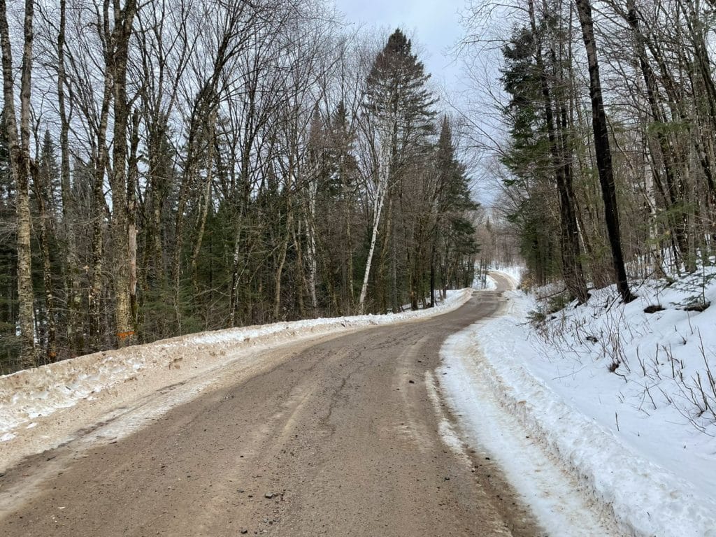
Once in the wildlife reserve, there is a thin layer of wet snow on the road surface for a good part of the route. Sometimes we drive on dirt.
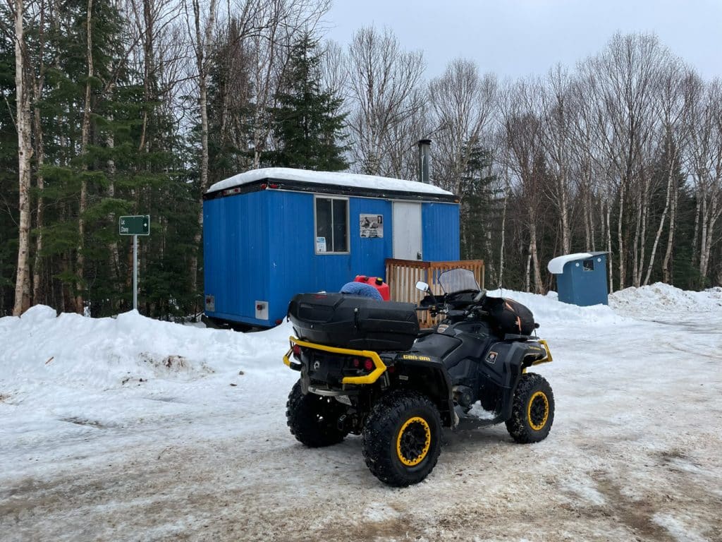
At km 48.5 we take a short break at the “Gerry Gagnon” relay. The temperature is comfortable, we didn’t light up the stove. Did you know that in some cases, it takes more than a day to groom the trail? Indeed, it can happen that the operator of the snow groomer sleeps in this shelter. There is a Murphy bed inside.
Afterwards, we head to Rivière-Rouge for a nice dinner at the restaurant. Once we’ve had our fill, we hit the trails again to go to Lac-des-Écorces, our next destination for the night. There is no longer any snow cover on a good part of these trails but with a good dirt bottom.
Day 2: Lac-des-Écorces to Maniwaki
It snowed a bit last night and the morning temperature cooled slightly to 0 degrees Celsius. After lunch, we head to Ferme-Neuve. To our delight, the landscape is all white during the morning commute.
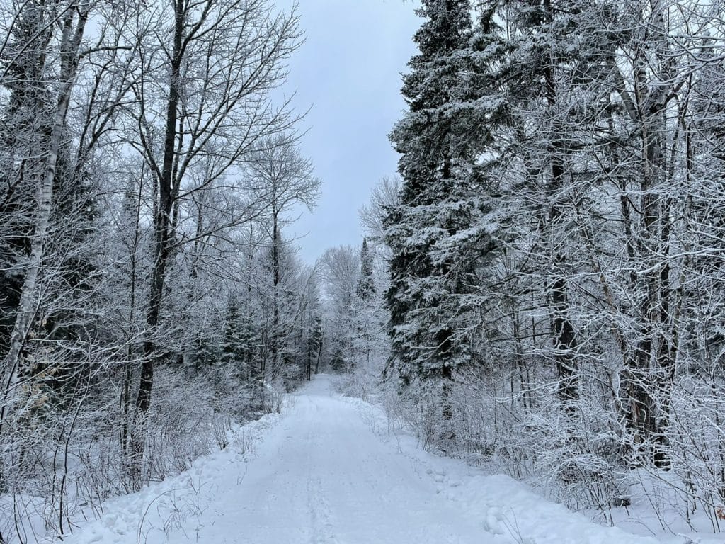
In order to avoid arriving too early at the mountain relay, we visit the area that includes the Devil’s Mountain Park and the north of it. Did you know that the real name of this mountain is Mount Sir Wilfrid in honour of Sir Wilfrid Laurier, Prime Minister of Canada from 1896 to 1911? There are two Native American legends that mention that the mountain is inhabited by a creature called Windigo. One says that he is a good devil who protects the place and attacks those who want to destroy him. The other version mentions that Windigo is a powerful monster who has the desire to kill and eat his victims he encounters in the woods. This is where the name “Devil’s Mountain” comes from.
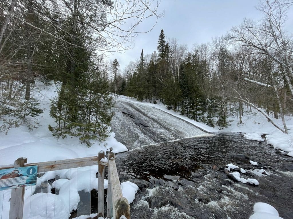
Because of the abnormally warm temperatures, we avoid visiting Windigo Falls because the trail to get there is shared with snowmobiles. It’s a beautiful site to visit, here is the picture of our visit last winter:
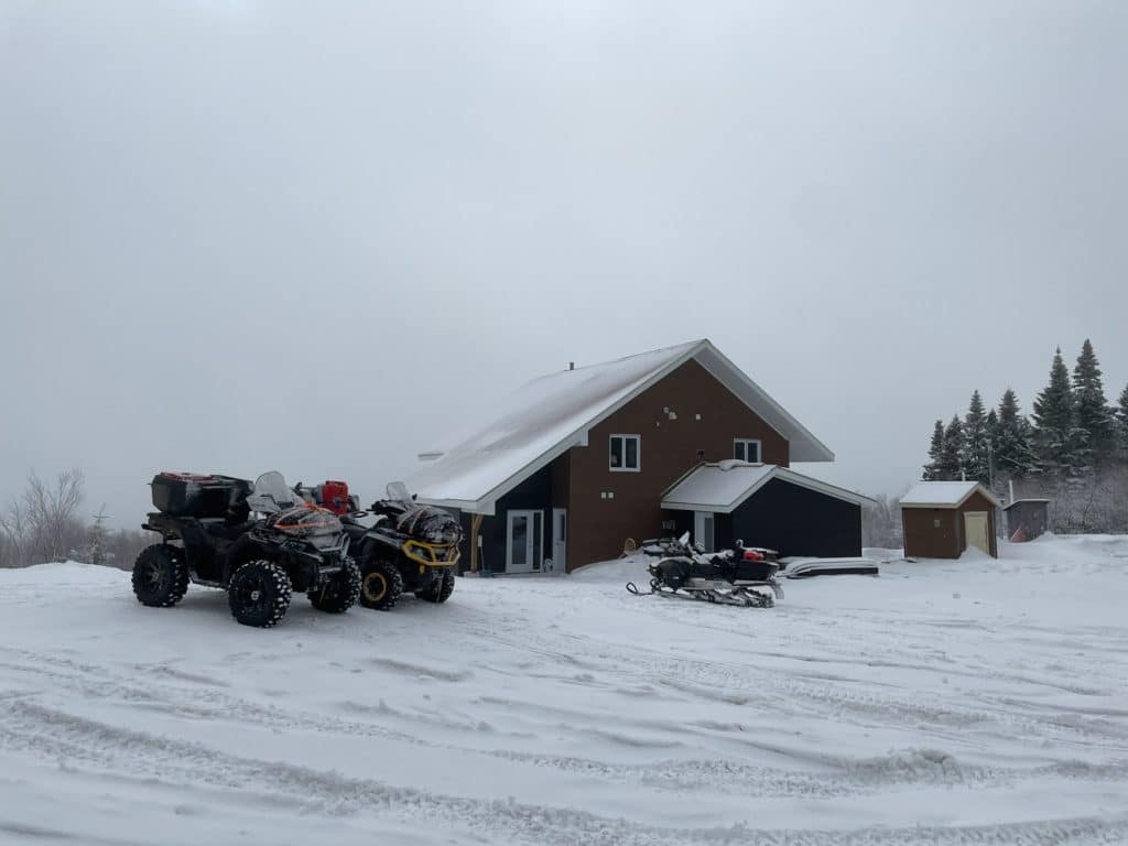
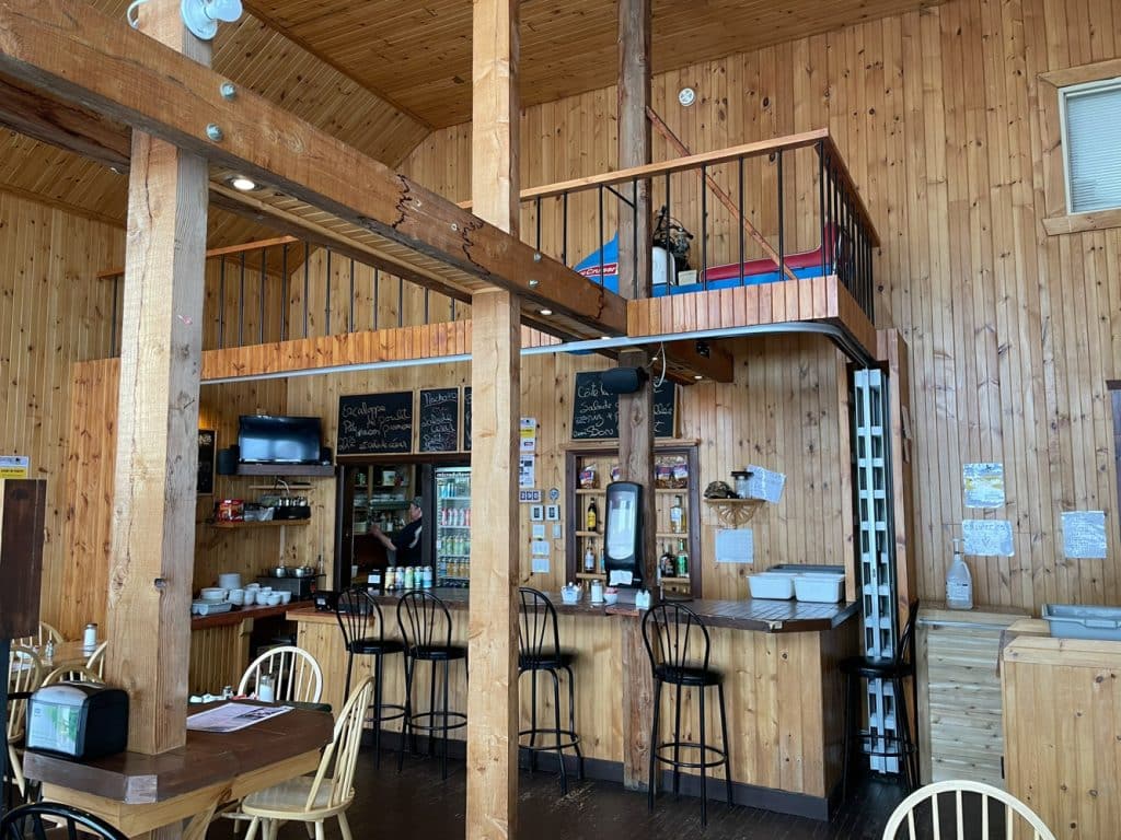
We went to the relay at the top of Devil’s Mountain for a nice dinner. We have a chat with the cook on site who tells us some nice anecdotes. In addition, we learn that it stays put throughout the winter. Indeed, there is an apartment on the 2nd floor of the relay.
Riding in Spring Thaw Conditions
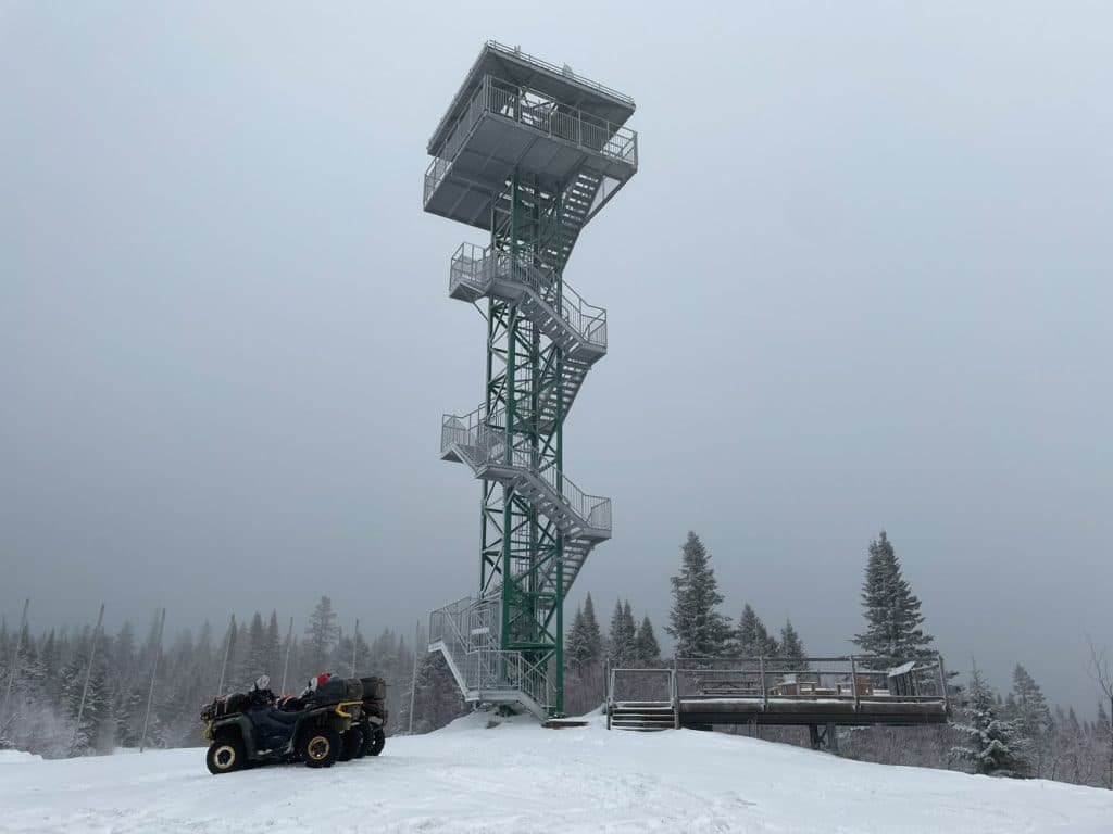
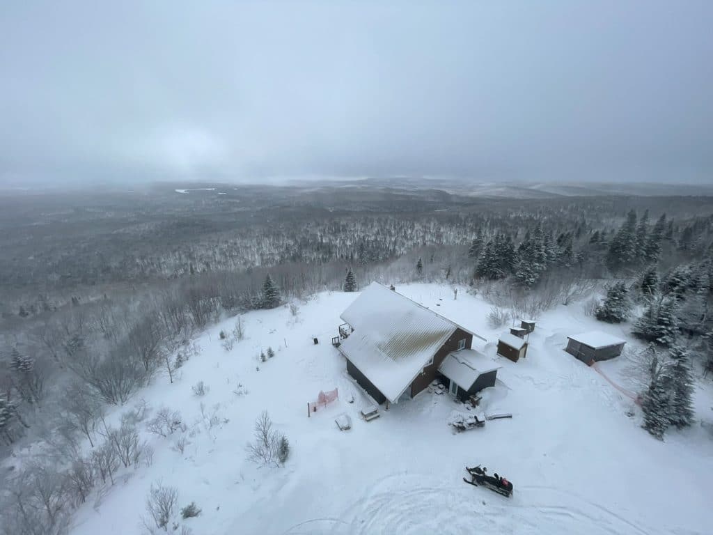
Near the relay, there is a new 21-meter-high observation tower, built in 2022. At the top of the tower, you can see, among other things, the large Baskatong reservoir, the Lièvre valley, Lake Windigo and Mont Tremblant. Unfortunately, when we went up, the visibility in the distance was partial because of the snowfall and low clouds.
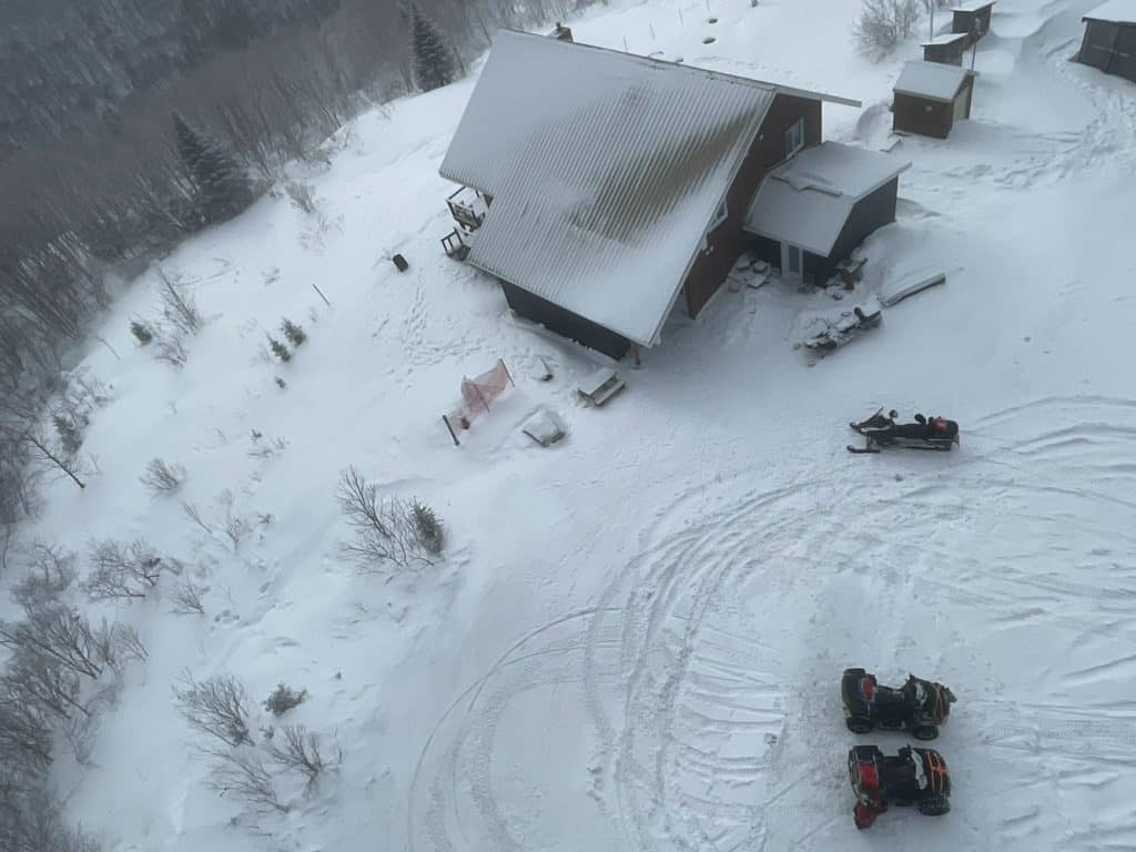
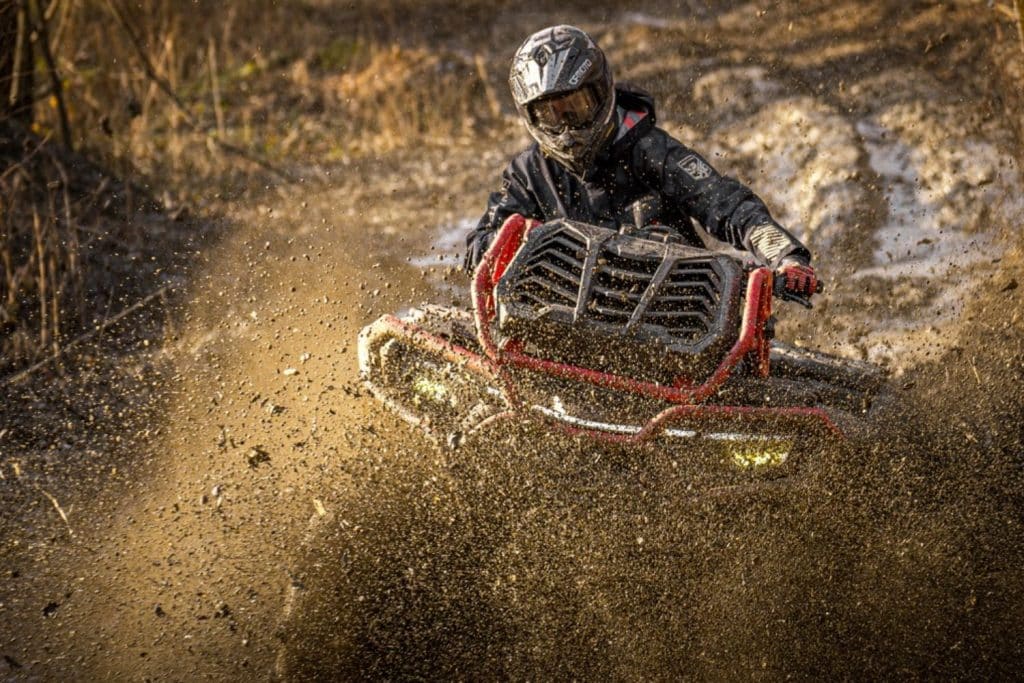
We get on our ATV and head to Val-Limoges to get gas. Afterwards, we retrace our steps a little to do the loop around the Lac-Gatineau village. By the time we got to Maniwaki, temperatures warmed up to 2 degrees Celsius. Already that there was no snow cover in this corner, a thin layer of running surface thawed and turned to mud.
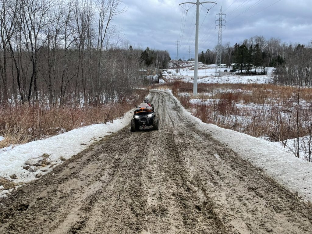
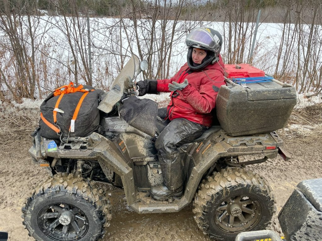
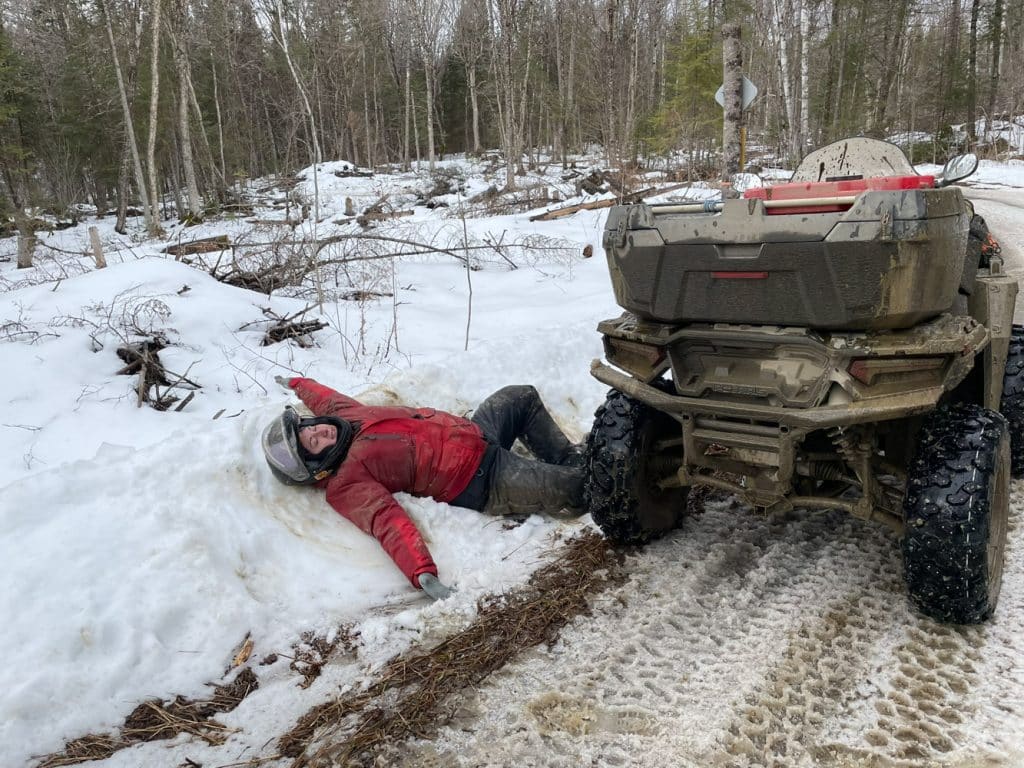
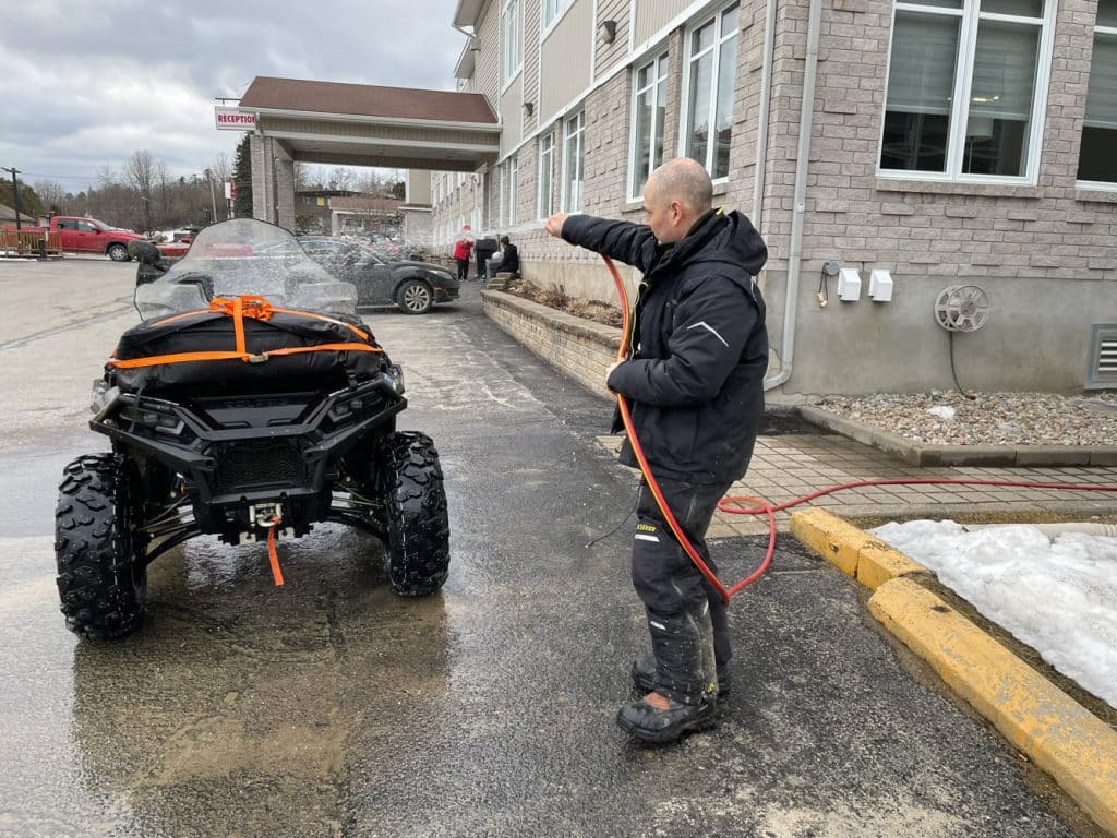
Julie’s ATV is equipped with a new set of winter tires and wheels that are one and a half inches wider per side. As a result, the tires protrude past the fenders and generously spray the mud on it. Luckily, the hotel had a garden watering can on site. Who would have thought that one day I would have to wash the ATVs and Julie in the middle of February? I’m going to remember that for a long time!
Day 3: Maniwaki to Duhamel
We head to the municipality of Blue Sea to go to Mont Morissette Regional Park. At this point, the trail to the summit is not groomed and there are deep rollers. Luckily, the previous night’s frost and a cold morning at -3 degrees Celsius made it harden and we were able to get to the top without any problems.
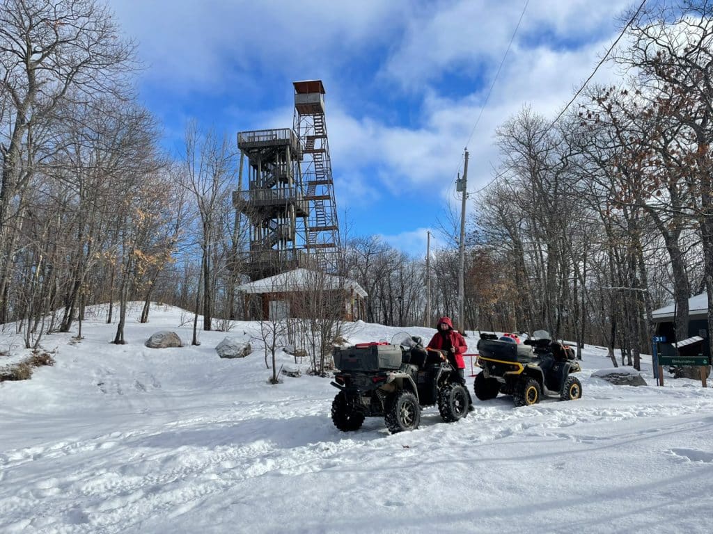
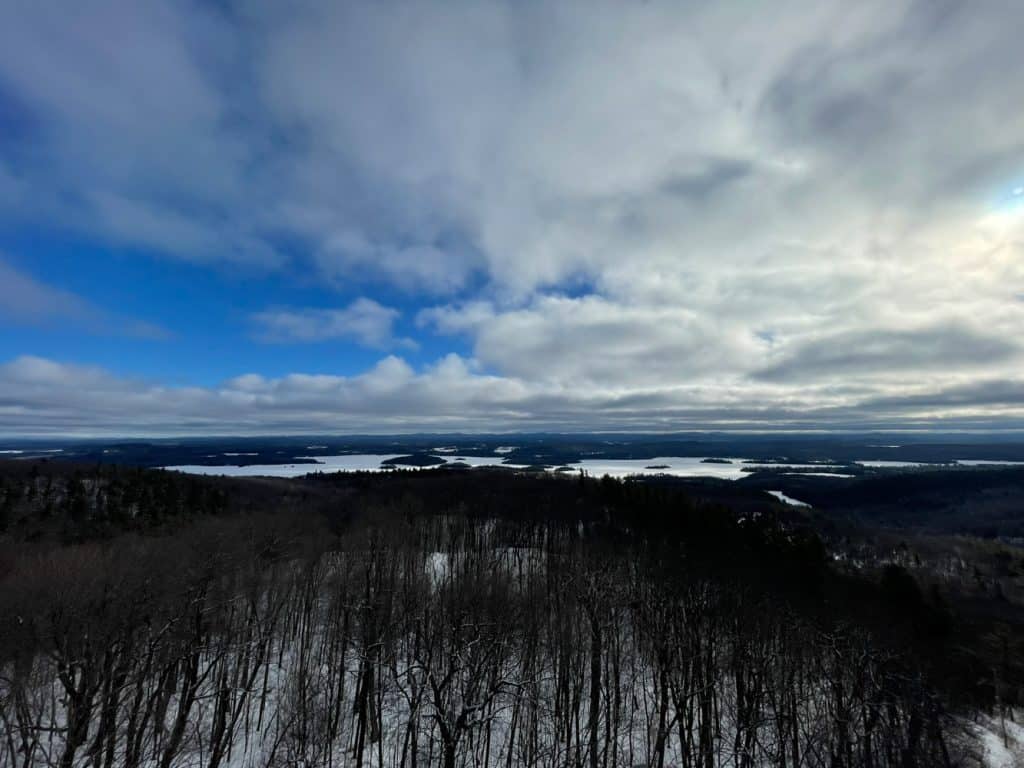
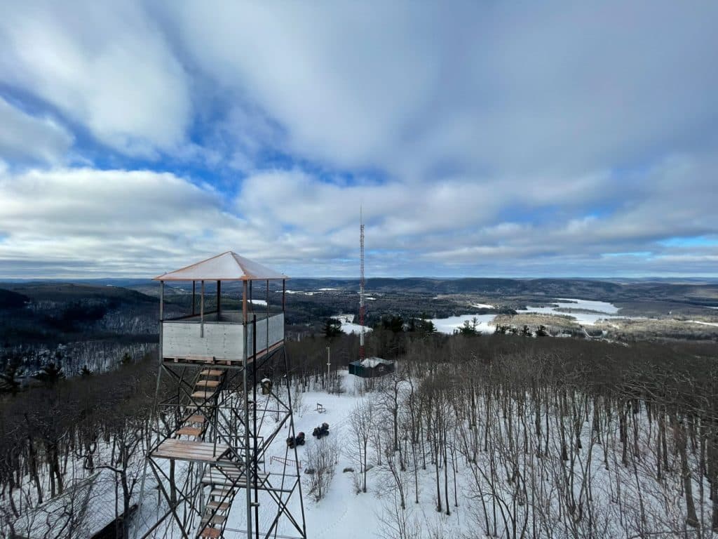
At a height of 400 meters, there is a fire tower that was erected in 1930 and is still standing. It was used to monitor forest fires and was used until the 1960s. It is no longer accessible but there is another 18-meter-high panoramic observation tower right next to it. At the top, you can see many lakes including the Blue Sea and mountains all around. You can also take a closer look at the old tower and that’s when you realize that you don’t have to be afraid to climb it. The structure looks frail but yet it is solid. After all, it has stood for more than 90 years.
We hit the trails again to go to Notre-Dame-Du-Laus for dinner. At this location, the only restaurant in the area is closed on Mondays and Tuesdays. We get supplies at the local grocery store and we go to eat on the banks of the Lièvre River. The temperature is comfortable enough to eat outside and we get warmed by the sun. There are almost no clouds.
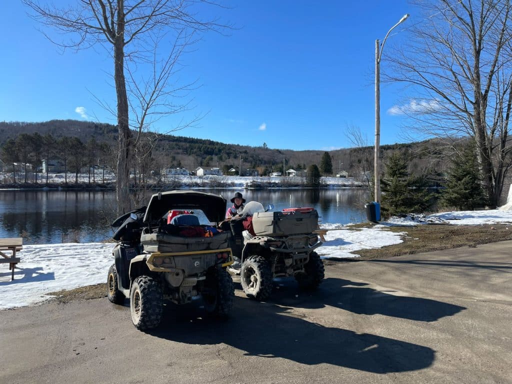
After lunch, we set off for our final destination, Duhamel, via the Papineau-Labelle Wildlife Reserve. The running surface is very nice all the way through despite the heating and strong sunshine. A few pieces of land in some places, but nothing more.
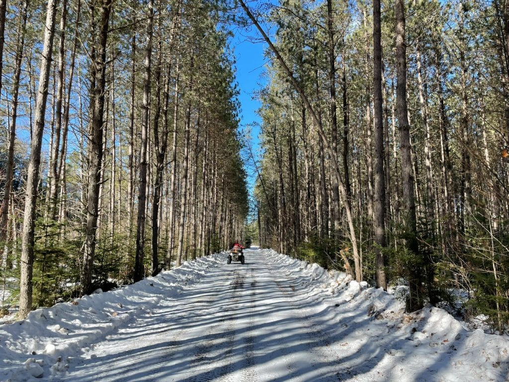
Day 4: Duhamel to Saint-Michel-des-Saints
Winter finally arrived this morning with a morning temperature of -12 degrees Celsius. We have a nice lunch and, without further ado, we hit the trails. Indeed, the goal is to arrive at the starting point not too late because we have four hours to drive back home. There was a good frost during the night and the surface of the trails is hard, very icy. A few sections of trails are bumpy due to a lack of snow and in addition, in one place, a culvert is gone.
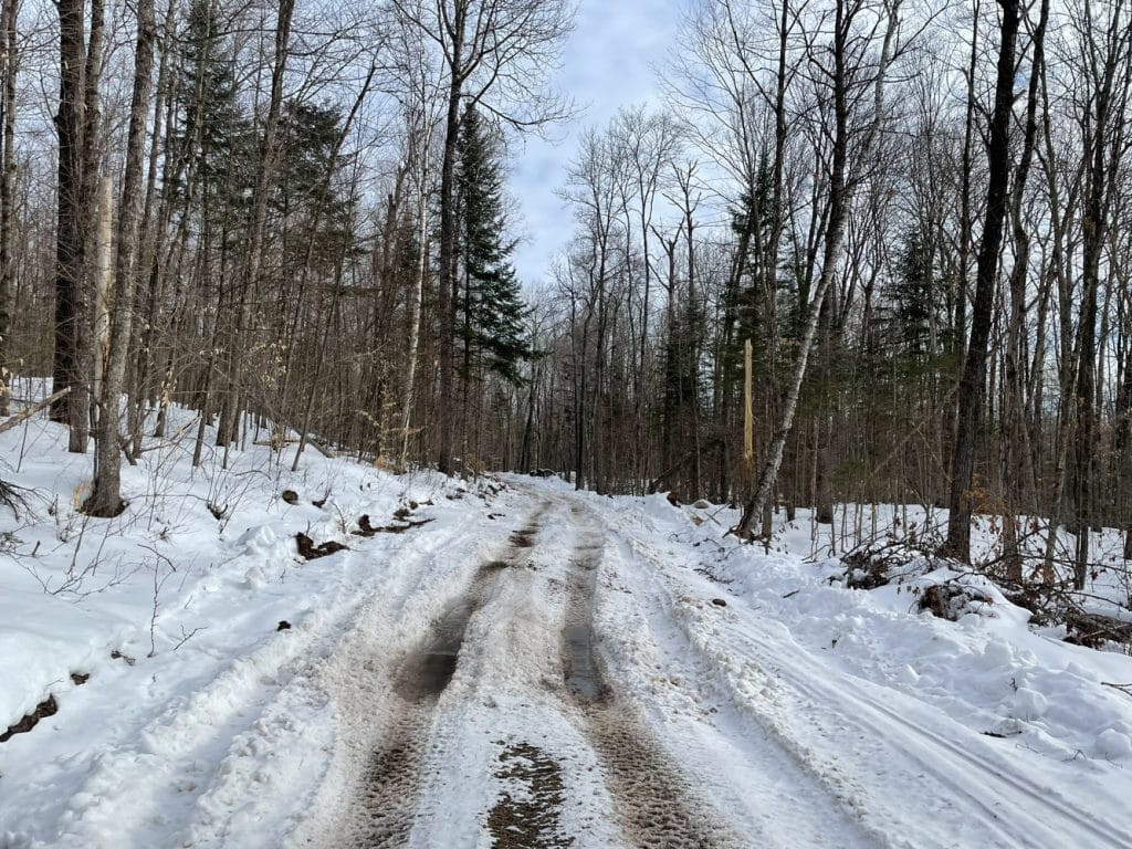
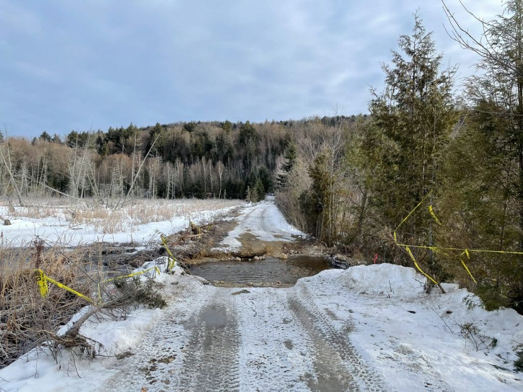
We still cross the Papineau-Labelle Wildlife Reserve and make the detour in the corner of the Le Violon refuge because the bridge is closed by the Ministry of Natural Resources and Forests. You have to drive slowly, it seems to be freshly logged and, again because of the lack of snow, it stirs a lot.
We stop at a gas station in Labelle for a final refueling of gas and food. Indeed, after Labelle, as mentioned, there is no service to Saint-Michel-des-Saints, a distance of 133 km. Shortly after the entrance to trail 724, we noticed that there had been a good snowfall. Deeper flangeways appeared over a distance of about forty kilometres.
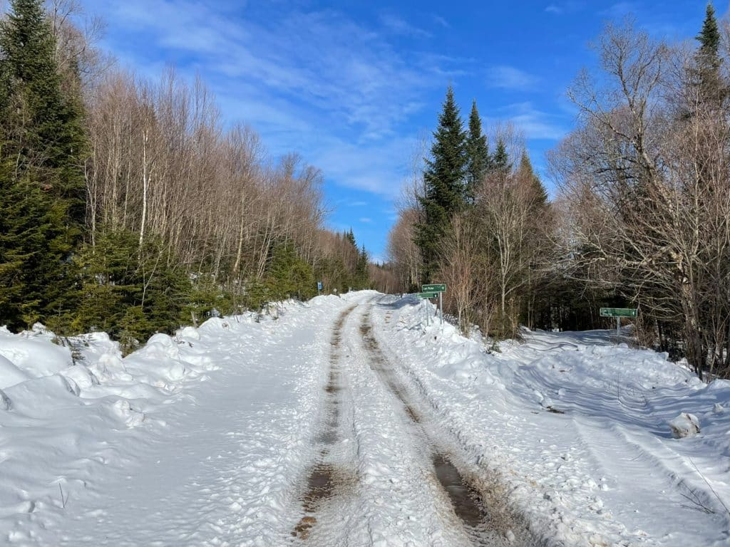
At km 48.5
At the “Gerry Gagnon” relay, we take a break for lunch. After that, we make the rest of the way to Saint-Michel-Des-Saints. The trail is more beautiful, there were no more ruts. We arrived in Saint-Michel-des-Saints around 2:15 p.m. We load our ATVs onto the trailer and are already heading home.
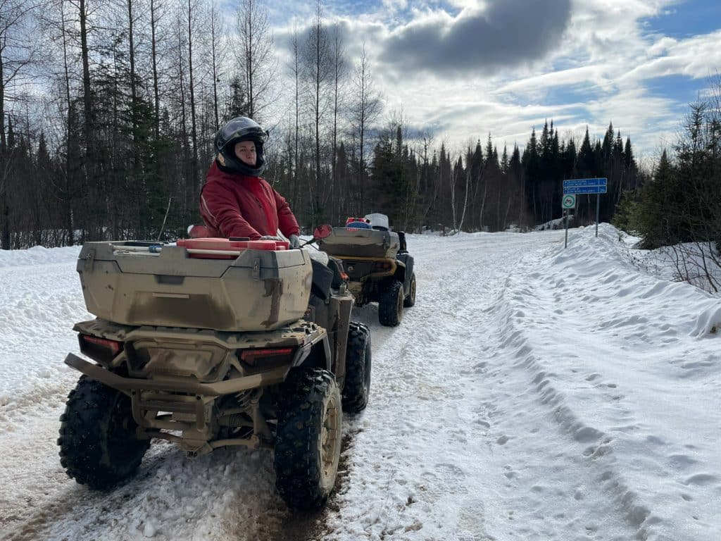
Final Words
Before the start of the trip, and even during, there were good periods of mild weather that melted the snow in several places. The trails were not always beautiful everywhere, there were rocks, flangeways, dirty running surfaces and even mud. Despite all this, we loved our week of vacation. It’s part of the adventure and they’re off-road vehicles after all! Every year, it’s not the same conditions, it’s a surprise every time.
We were fortunate to be able to make this trip because the trails in a good part of Quebec were closed. Just a few rare regions where it was still possible to do a winter ATV ride in the Upper Laurentians.
It is often said that the Matapédia Valley is the paradise of ATVing in summer, for us, the Upper Laurentians are the paradise of ATVing in winter. It is a very beautiful region to discover and explore. We’ll definitely go back next year.
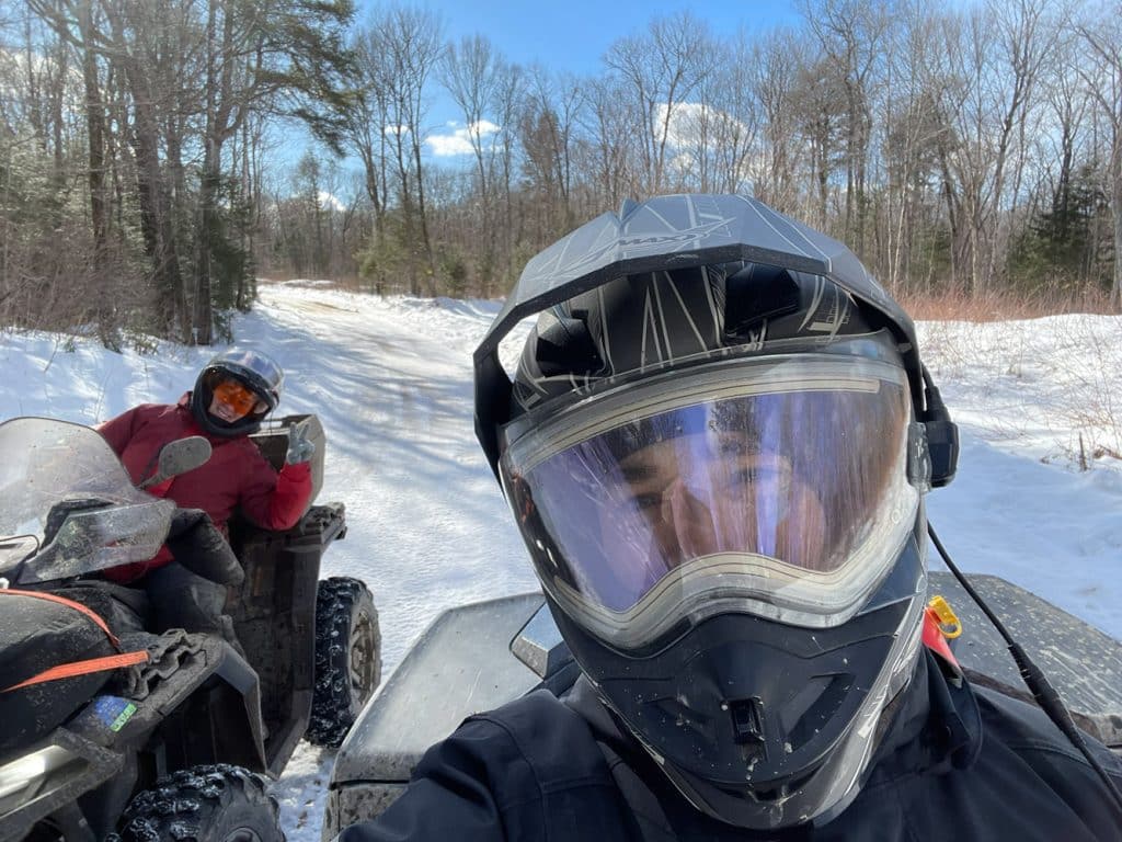
Goodbye and see you soon!


