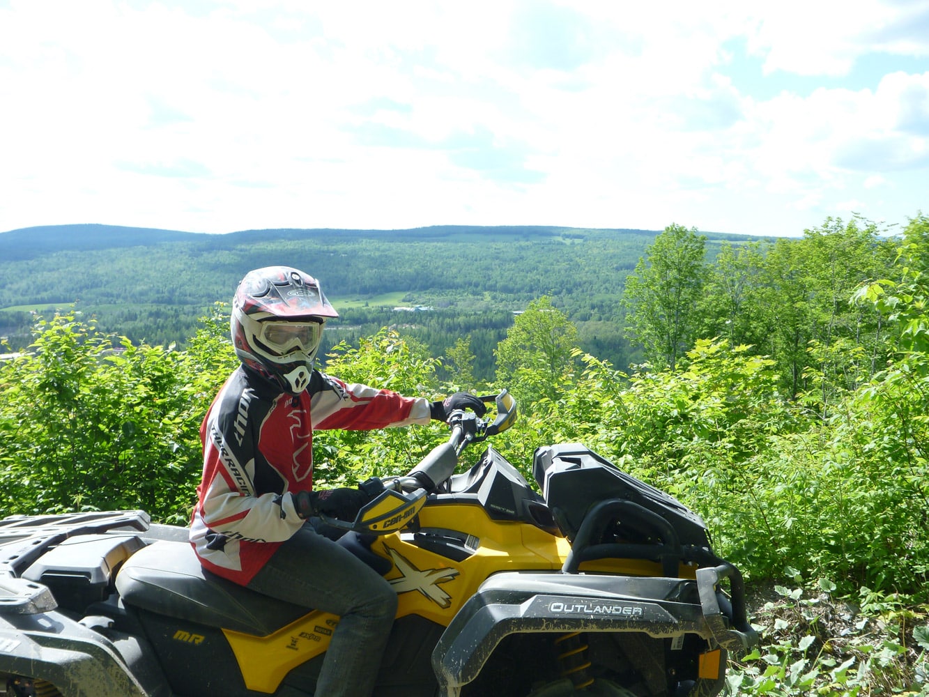
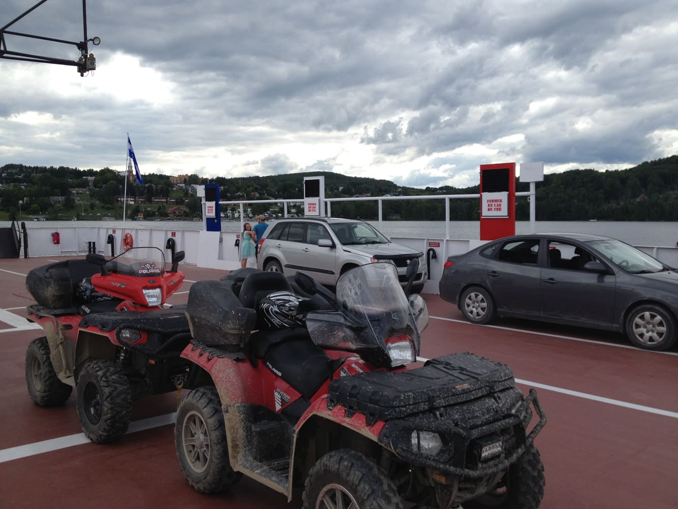
Since last year, the problem of access to downtown Rivière-du-Loup has been a thing of the past, subject to completion by the Ville de Rivière-du-Loup. Indeed, the president of the local ATV club explains that there is still work to be done on the rolling surface. The local ATV club has thus succeeded in setting up a four-season trail to the town center. We can even dream of having access to the ferry to go to Charlevoix – we’re not far from it. For now, access to downtown services in summer opens up new possibilities for quad riding in the region! Here are three suggestions for day trips from Rivière-du-Loup.
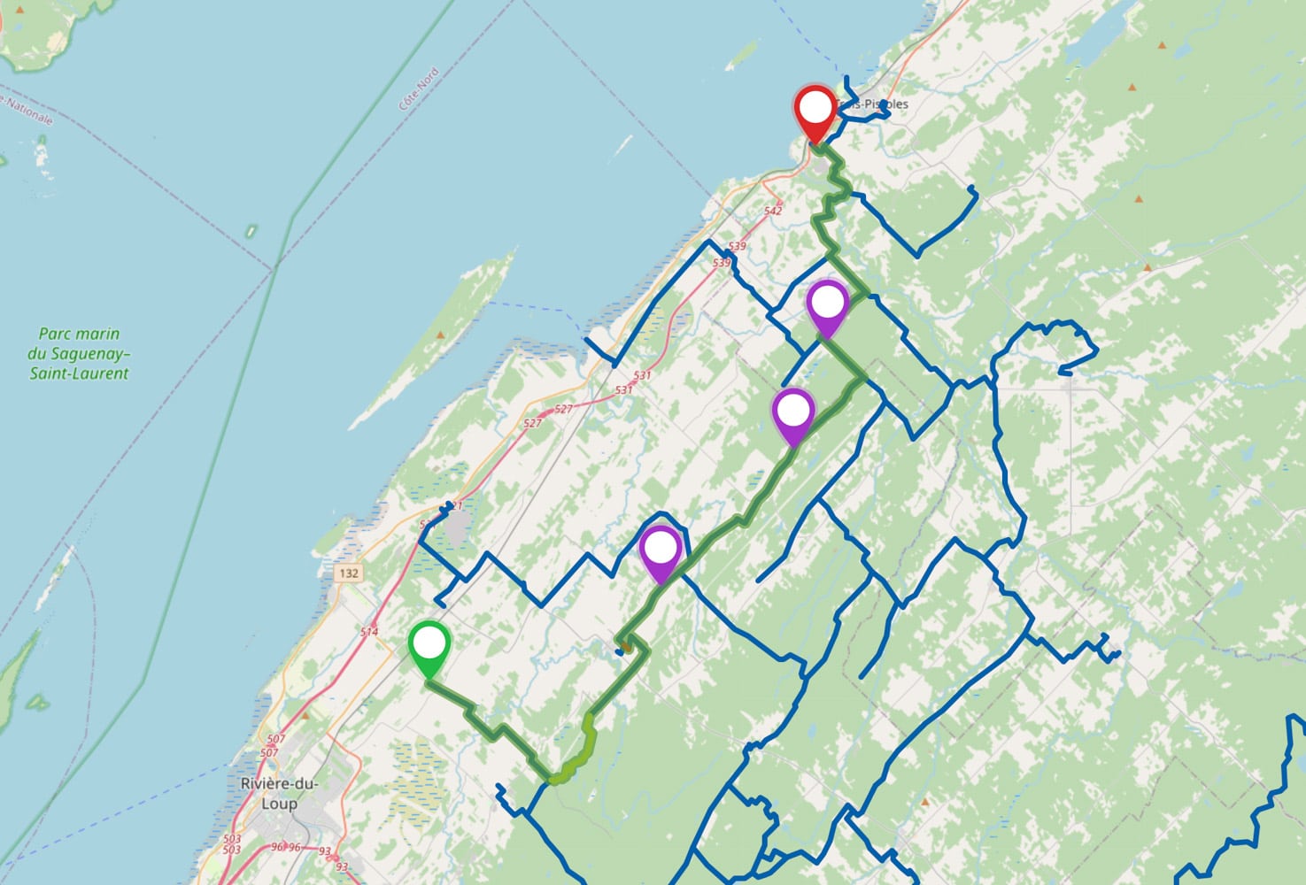
Where is Bas-Saint-Laurent located?
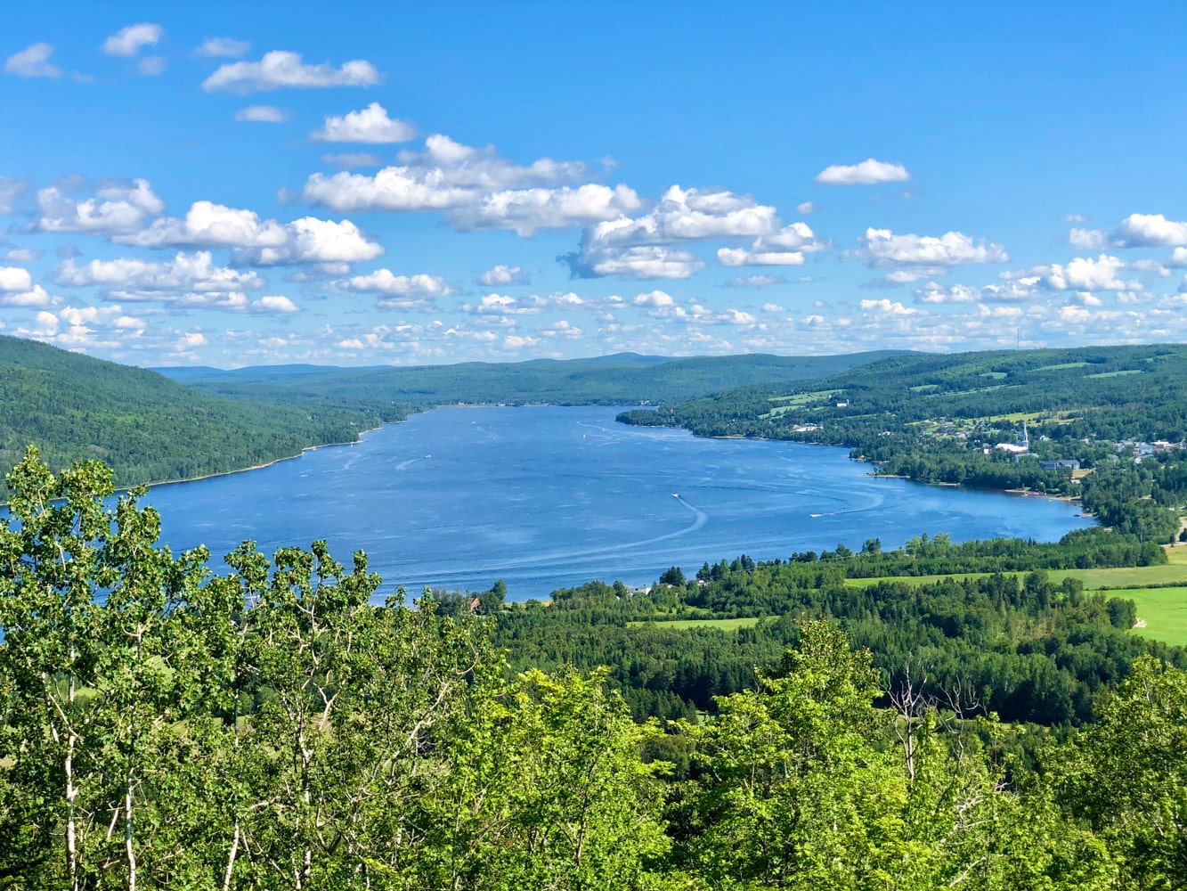
Bas-Saint-Laurent is located between Bellechasse and Gaspésie, east of Quebec City. The region we’re interested in today includes the Rivière-du-Loup, Témiscouata and Basques MRCs. The main population centre is, of course, Rivière-du-Loup, two hours from Quebec City. We’ll be taking a look at some of the day trips that take place on the territory of these three MRCs, always starting from Rivière-du-Loup. The L’Est-Quad ATV club operates 226 km of trails there in summer. The Trans-Temis club to the south offers a network of 654 km of marked trails. Finally, Les Rouleux des Basques offers a network of 180 km of summer trails.
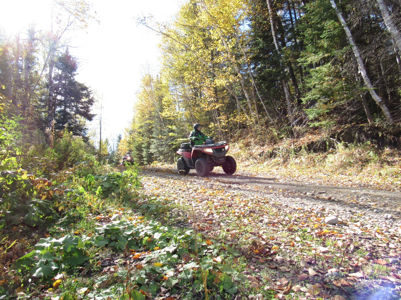
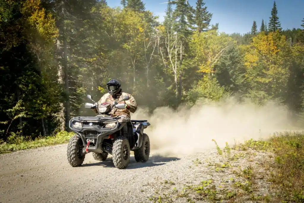
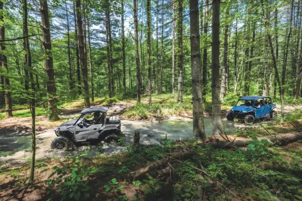
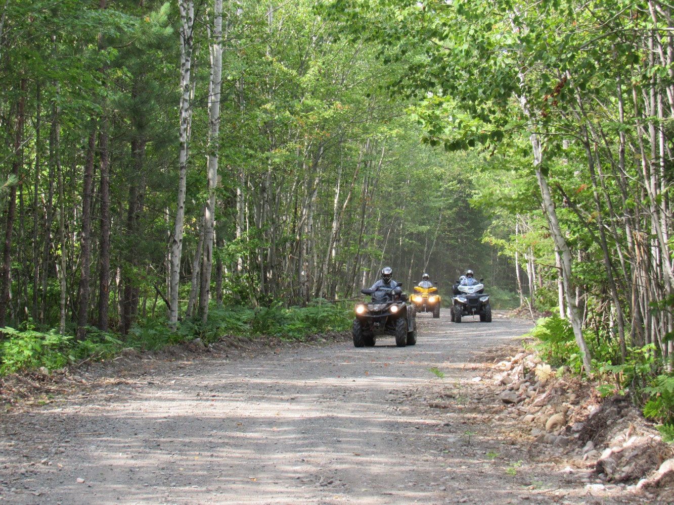
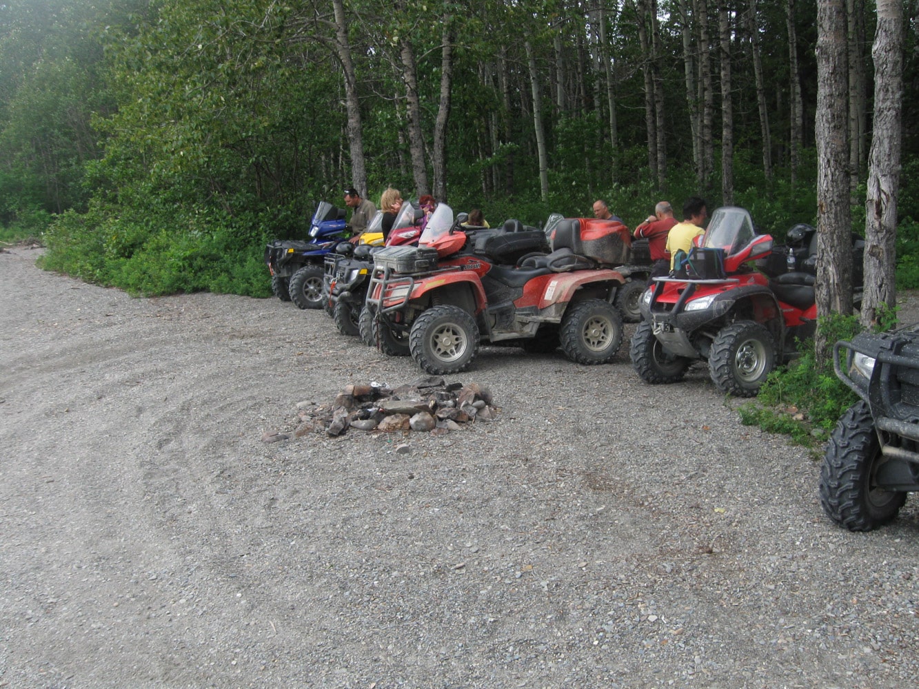
Located in wooded, agricultural and sometimes urban areas, the trails of these clubs wind their way through the region, offering a wide variety of vantage points and quality panoramas for the quad rider.
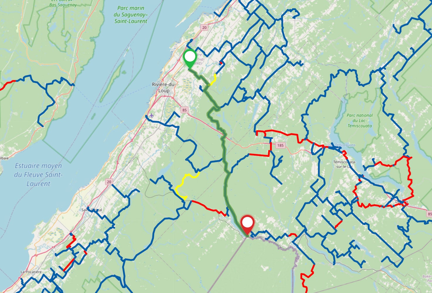
The section to be completed.
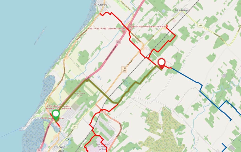
The section of trail yet to be completed is located directly at the entrance to the town. The road surface is very rough, with crevasses, rocks, etc. It was opened last fall for snowmobiles and quads. Traffic was not a problem, as the trails rested on a heavy layer of snow. This is not the case in summer, and the president of the L’Est-Quad club, Yvan April, is very reluctant to open the trail as is. In his opinion, the situation is such that it presents safety issues for users. According to Mr. April, the agreements reached with the partners stipulate that work will be done by the end of May. Traffic will then be able to flow safely. The work will involve a few hundred meters of road along Highway 20, and we hope it will be completed shortly.
Day 1: Trois-Pistoles (228 km)
On the first day, we decide to head for the river. We set course for Trois-Pistoles, a town popularized by the colorful Victor-Lévy Beaulieu.
This route has a lot of fast-moving lanes. There are a few points of interest. These include the bridge over the Trois-Pistoles River, which forms a canyon at this point, and the views of the St. Lawrence River as you approach Trois-Pistoles. Services and restaurants are easily accessible all along the route.
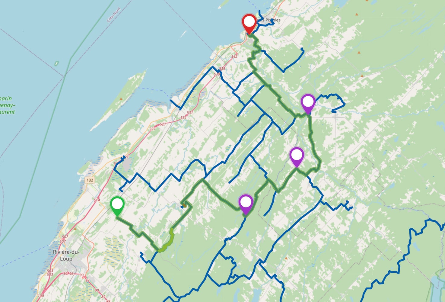
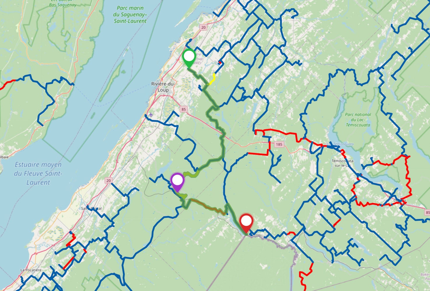
Day 2: Témiscouata trail (263 km)
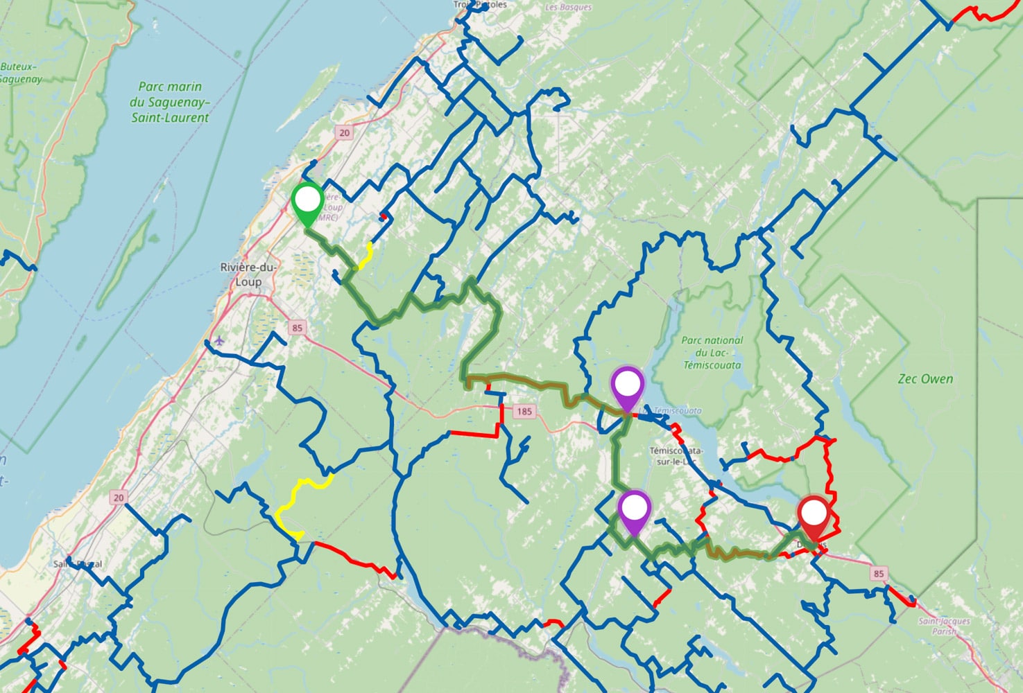
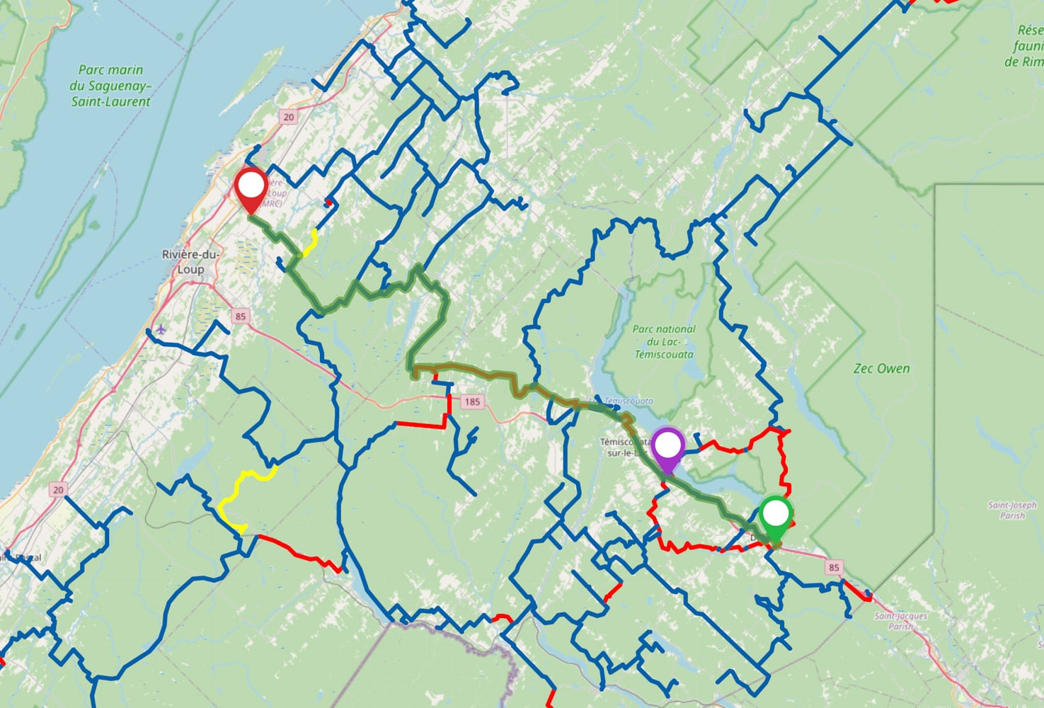
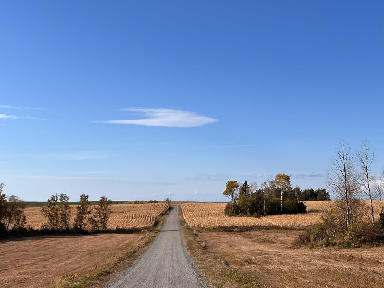
This route takes you to Degelis, at the southern tip of Lake Témiscouata. It offers some of the best views in the region. You’ll ride through forest and farmland on pleasant, well-marked trails. In the forest, you’ll pass through fragrant fir stands, noble pine forests or maple groves where it’s cool on hot summer days. Other vistas spread out over the colorful quilts of cultivated fields. Of course, there are some interesting curiosities, such as the refrigerator on Saint-Eusèbe mountain, with its ice-cold, thirst-quenching spring water. And let’s not forget the section of trail covered with a layer of sawdust on which the bearing is padded.
You can then choose to return along the service roads of Highway 85. This makes for a quick trip back to Rivière-du-Loup. If you want even more, you can bypass the lake to the east and return to the Le Corégone ferry at Saint-Juste-du-Lac. On the lake, you’ll have a bucolic view of the superb panoramas offered by both shores.
Day 3: The circuit to Pohénégamook (178 km)
Most of this route takes place in forested areas. It’s a great ride. You’ll make your way to Lake Pohénégamook, where you can rest on the shore. A great place to eat is the microbrewery Le secret des Dieux, housed in the old presbytery. You’ll find yourself in the Estcourt neighborhood, which borders the U.S. border. One of the houses is right on the border, cutting it in two!
In the afternoon, you can access the observation point overlooking the lake to the north. Then return via a section of the Monk Trail, a disused rail line used by OHVs. You’ll also pass a site known as the “oil well”. This is actually a drilling site excavated by Soquip in the 1970s. The aim was to determine whether the large underground caverns were watertight enough to store natural gas. The Gros Cacouna liquefied natural gas port was a long-cherished project.
What about autumn?
We’re all familiar with the problem of hunting season versus trail opening. What about the proposed trails? Routes 1 and 2 are not affected by the hunting season. As for the third route, although the trails are not formally closed, the area is popular with many hunters. Personally, I wouldn’t tempt the devil…